Geological-structural mapping of five communities located between the volcanic complexes Momotombo and El Hoyo: La Fuente, Tecuaname, Papalonal, Cuatro Palos and Los Portillos.
Abstract
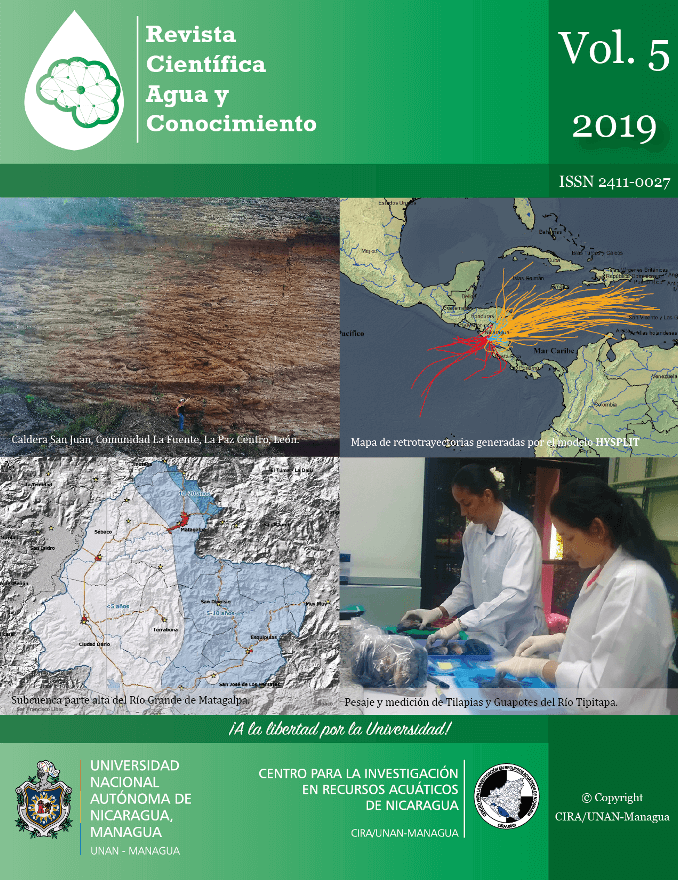
Geological-structural mapping is a basic tool for understanding the geology, geochemical and hydrogeological conditions of groundwater. The aim of this study was to provide information based on a geological-structural mapping of the communities La Fuente, Tecuaname, Papalonal, Cuatro Palos and Los Portillos, to assess the occurrence and direction of groundwater flows in the area. These communities are located between the Momotombo and El Hoyo volcanic complexes, where there are thermal and geophysical anomalies indicating the existence of hydrothermal alteration phenomena; which explain high arsenic concentrations in groundwaters of the area. Three geological units represented by deposits of reworked volcanic material, alluvial and lacustrine plains and tuffs of Malpaisillo were recognized in the field. The influential materials belong to the recent Quaternary and Las Sierras Group. It was also confirmed that the study area is affected by two main fault systems with a Northeast-Southwest (NE-SW) and Northwest-Southeast (NW-SE) direction trends that control groundwater movement. The NW part of La Fuente community may be affected by hydrothermal flows coming from El Hoyo Volcano and Cerro Colorado following a N65ºW orientation. It is concluded that the geological-structural mapping has provided important preliminary information to identify hot spots to carry out the geochemical characterization in the study area. This would allow to contribute to diminish human health risks derived from arsenic contaminated water.
Keywords: Geological mapping, structural measurement, flow direction, arsenic risk.
Downloads