Regional frequency analysis for generation of drought return maps in the sub-basin upper part of Río Grande de Matagalpa.
Abstract
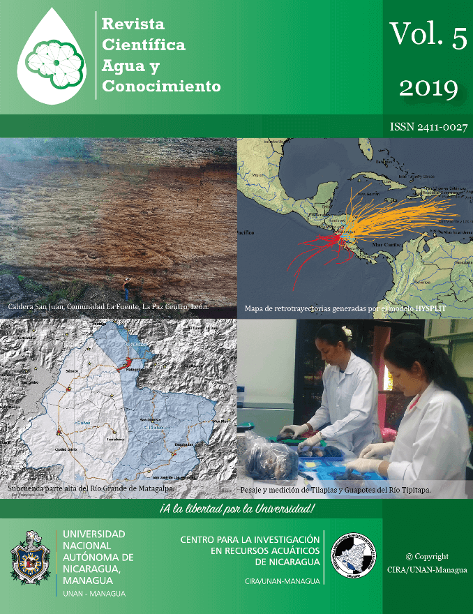
Drought is one of the climatological phenomena of greater impacts at social, economic and environmental level in the whole world. That is the case in the municipalities from the study zone, the sub-basin upper part Río Grande de Matagalpa, which have been classified based upon their agroclimatic affectation of droughts as uncertain and risk zones. The present study aims to generate maps of periods of return associated with a moderate and severe annual droughts using the Regional Frequency Analysis based on the statistics of L-Moments. From the precipitation observations in the 19 analyzed stations, three candidate regions were formed: North, Center and Valley. However, the Regional Frequency Analysis was made for two regions after a rearrangement. It was determined that the observations from the Center and Valley regions were best fitted to the Normal Generalized (GNO) and Pearson type III (PE3) distributions, respectively, implying a high heterogeneity of the drought hazard in the sub-basin. The periods of return for both moderate and severe droughts in the sub-basin increase from West to East and at higher altitudes. Moderate droughts have periods of return that vary from < 5 to 20 years; while for severe droughts vary from 5 to > 50 years. The most susceptible areas in terms of drought recurrence are located towards the Northwest and West of the study zone, near the community Quebrada Honda.
Downloads